Trekking Maps
Step into the wild. Your ultimate outdoor companion with high-performance 3D maps, robust location features, and offline capabilities. Perfect for both seasoned adventurers and casual explorers.

Step into the wild. Your ultimate outdoor companion with high-performance 3D maps, robust location features, and offline capabilities. Perfect for both seasoned adventurers and casual explorers.
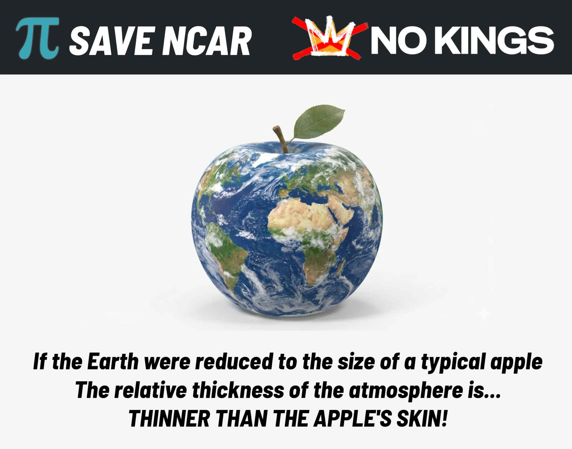
On December 17, 2025, the Trump administration announced plans to dismantle the NSF National Center for Atmospheric Research (NCAR), a premier weather and climate research institution. As the developer of Trekking Maps—a 3D mapping application for outdoor enthusiasts—my work relies directly on high-quality public domain data from agencies like the USGS, NASA, NOAA, and NSF. My deep dive into sky rendering algorithms led me to utilize NSF NCAR's libraries, giving me a firsthand appreciation for the immense complexity of atmospheric simulation. Dismantling this institution would not only stall scientific progress; it would strip away a vital pillar of the data infrastructure that Colorado’s tech and outdoor industries rely on. Join me in supporting the #SaveNCAR movement to ensure the scientific community retains the resources needed to study our changing climate and equip leaders with data-driven insights.
I take pride in my contribution to The Wilderness Society's efforts on the CORE Act, where I created a special feature within Trekking Maps to showcase the proposed protected areas. I also presented the app at various events to raise awareness for the CORE Act. Our unified efforts have led to the designation of the Camp Hale-Continental Divide National Monument and a 20-year mineral withdrawal on the Thompson Divide. Join me in supporting The Wilderness Society to ensure future generations are able to experience our wild places.

Explore my open-source projects focused on graphics and artificial intelligence.

 Save NCAR
 Source Code